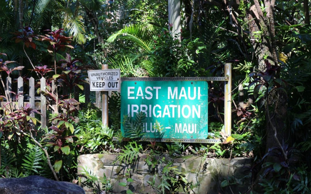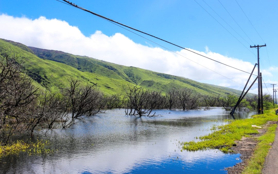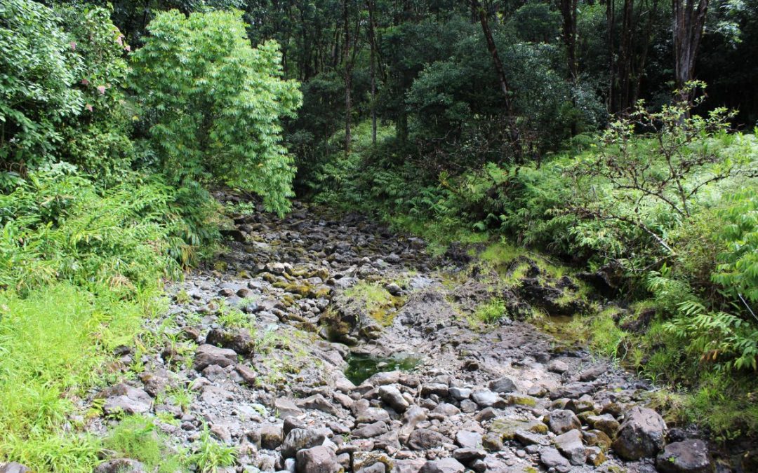
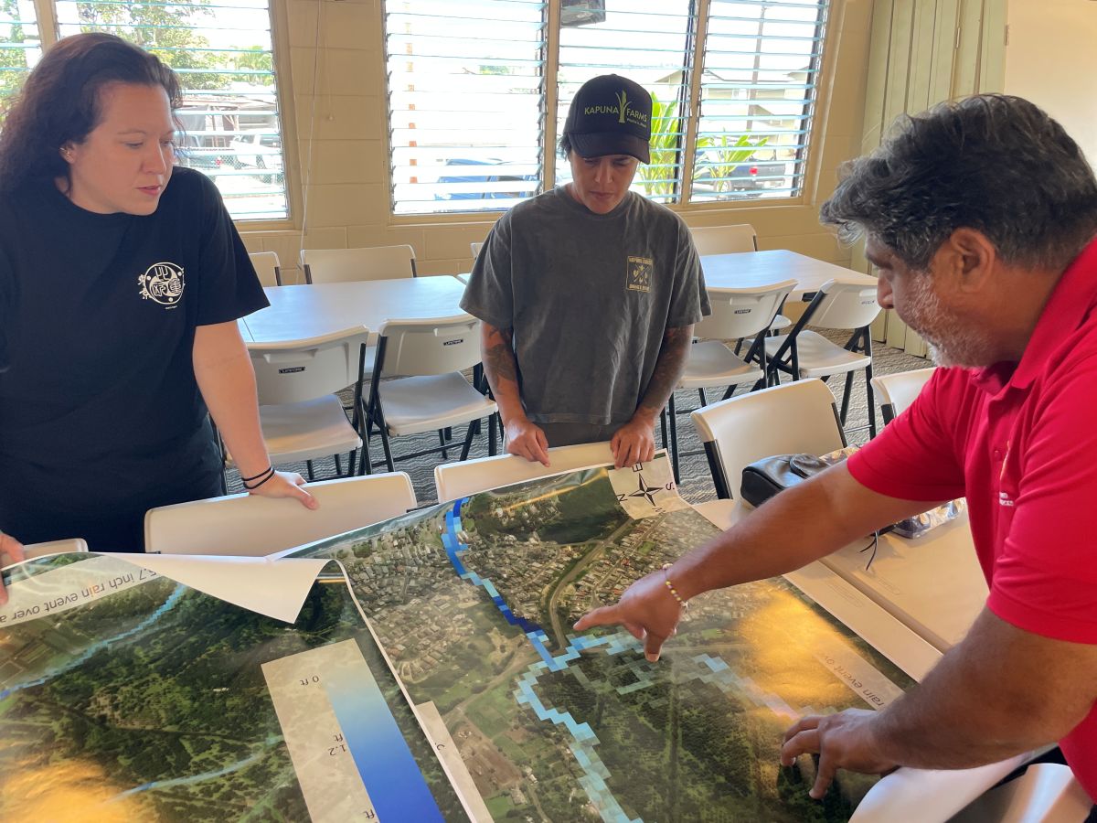
Daniel Ornellas, a Waiehu Kou resident and and member of the Waiehu Kou Phase 3 Association’s board of directors, led the huakaʻi through old plantation-era irrigation ditches to a region of guinea grass-choked loʻi kalo. The surrounding stone walls were stacked a century before anyone on this journey was even born. This area was familiar to both parties; for the community members, it was where they worked, played, and grew up. For the students, this has been a region of study for their class, and their research projects; including making flood models, computer-based tools used to predict flooding, that are grounded in math and physics.
As the residents pointed out where they had historically seen the water flow during heavy rains, the students compared and contrasted their research and collected additional data. While some culverts, roads, and drainages matched both the residents’ recounting and the model outputs, other areas did not. Together, they learned more about the region, each through a different lens.
Flooding in Hawaiʻi is getting worse and more complex. The combination of sea level rise, changing precipitation patterns, and increased urbanization has led to unprecedented challenges for communities all around the islands. From large, long-lasting floods in Hanalei, Kauaʻi, to frequent road closures on Windward Oʻahu, floods have proven to be expensive, dangerous and devastating.
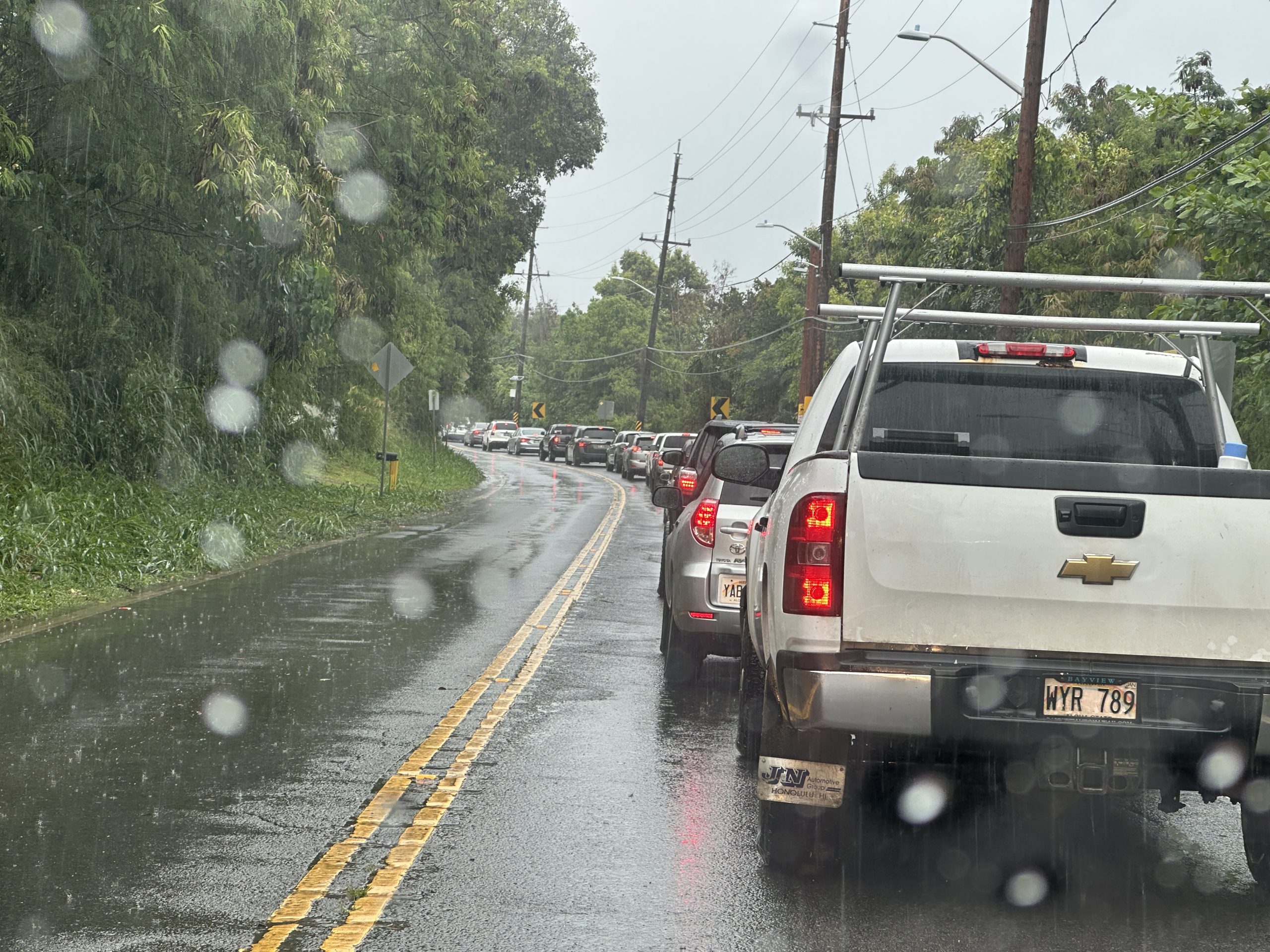
In Hawaiʻi, the tools that currently exist to understand and respond to flood risk were not built for the people who bear it most. In fact, FEMA flood maps are primarily made for insurance actuaries through the National Flood Insurance Program. State hazard plans are designed for state planners. University research is typically focused on producing journal publications. None of it was built for the family in Waiehu Kou, Hanalei, or Waiāhole who wants to know whether it is safe to drive today or if they need to help move an elderly relative out of harm’s way. This lack of accessibility to crucial knowledge about flooding risk in people’s day-to-day lives is something a group of scientists at the University of Hawaiʻi is working to address.
Our research team, the Shuler Lab for Operational Science and Hydrology, headquartered at the UH Mānoa Water Resources Research Center, is focused on building flood tools with Hawaiʻi’s communities, not just for them. The difference is changing the way we approach flood mapping and climate adaptation by integrating people’s lived experiences with cutting-edge technology.
So what are we as researchers doing differently? Co-production, not consultation. It starts before the science begins. Our research team has been trying to figure out how to better prepare communities for flooding across three sites in Hawaiʻi using an approach we call community-engaged science. But the word “engaged” understates what this actually requires.
Co-production is not just community outreach. It doesn’t mean we go and present results to an empty room at the end of a project. It means that members of the community, as funded co-investigators on the grant, help to shape what questions get asked, what locations get modeled, what scenarios get tested, and who owns the knowledge that comes out of it.
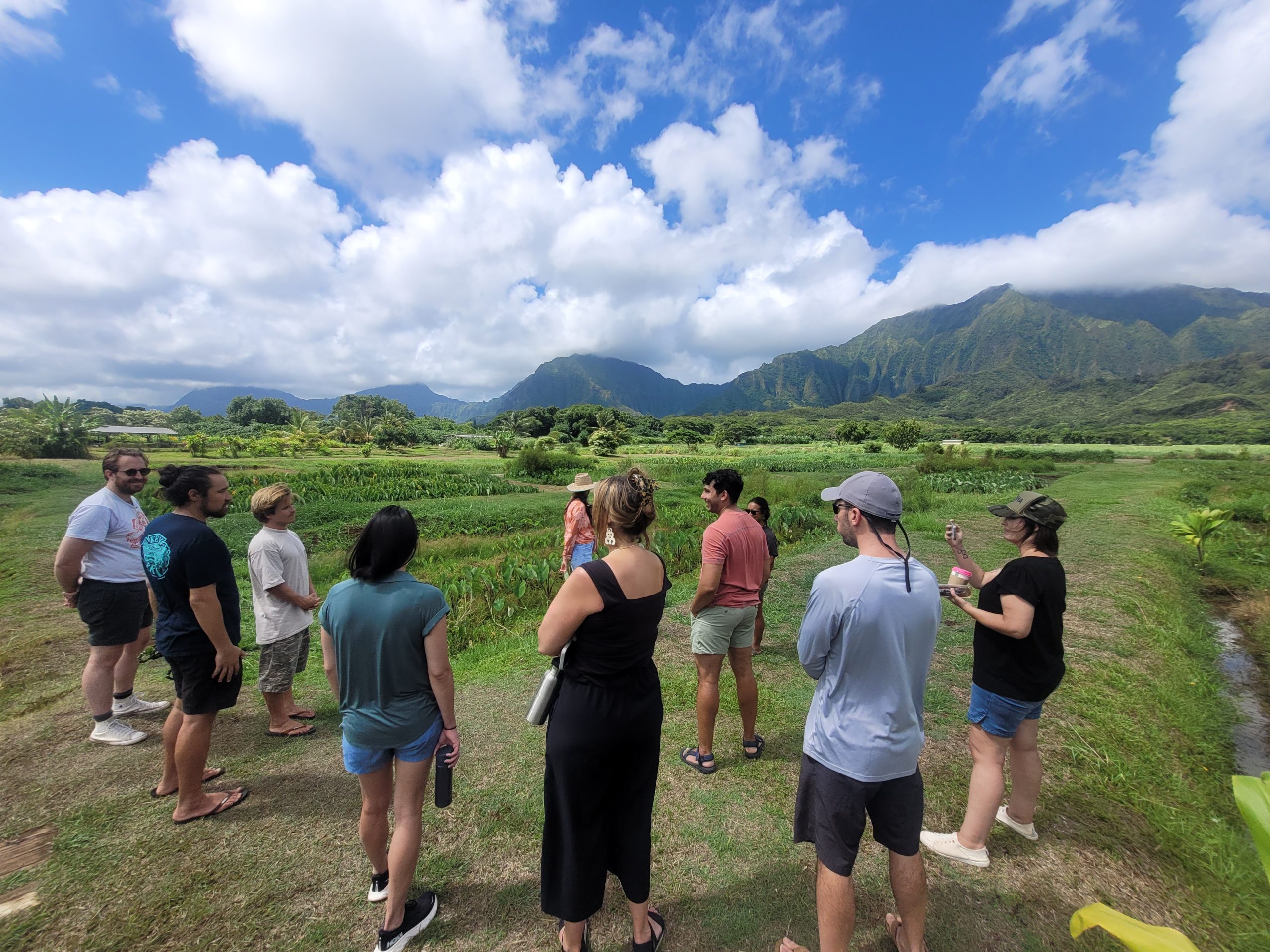
The first community-engaged flood adaptation study we proposed was funded by the National Oceanic and Atmospheric Administration (NOAA) Climate Program Office. It involved teaming up with the native Hawaiian homestead community of Waiehu Kou on the north shore of Maui. Waiehu Kou, which is located in Waiheʻe-Waiehu, was one of the first communities in Hawaiʻi to publish its own climate resilience plan.
In this document, they identified flooding as their primary hazard. Flooding in this area is exacerbated by increased development, uncoordinated land management, invasive vegetation blocking drainage ways, and undersized culverts.
Starting in 2021, our team, comprised of Dr. Shuler, Dr. Noelani Puniwai (UH Mānoa Hawaiian Studies), Daniel Ornellas (community resident and co-PI), and Dr. Scott Fisher (Hawaiian Islands Land Trust), began building a flood adaptation toolkit for the Waiheʻe-Waiehu watershed. This included a foundation of traditional and historical knowledge: Dr. Puniwai’s team combed Hawaiian language newspapers from 1856 to 1910, surfacing 78 historical accounts of Waiehu’s rain, drought, and flood patterns, then layered in seven mele and four 1970s oral history recordings. Nine kupuna, lifelong residents averaging 75 years old, were interviewed on camera, with their knowledge now archived at the project website.
Another aspect of the project was monitoring sediment movement in the region’s streams. The team measured water above and below loʻi kalo during storms to see whether the centuries-old taro terraces slow floodwater-laden sediment headed for the reef. During the biggest storms, we found a decrease in turbidity below the loʻi. Although the results weren’t statistically conclusive, this testing pointed to something the community had long suspected: working loʻi likely doubles as flood infrastructure to keep harmful sediment off the reef.
High-resolution flood models were built using a digital elevation model, land use, and rainfall data to replicate a significant 2018 flood and a hypothetical 100-year flood. The results aligned well with community-reported flood locations; however, there was a noticeable discrepancy with FEMA flood maps, with our models predicting more extensive flooding. This can become complicated for some residents with flood insurance, an expensive yet necessary commodity for many. The models helped identify areas of concern for development and validated community members’ lived experiences.
One of the biggest outcomes of this multidimensional project is the fact that the Waiehu Kou community holds intellectual property rights to it all. This independence gives the community agency in the process of building community resilience. Waiehu Kou is no longer swept along by whatever plans and regulations flow down from the government. They have their own footing now, and the evidence to stand their ground when it’s time to speak. Results and additional information can be found on the project’s public website, which was built by and belongs to the community.
Hanalei, Kauaʻi
The idea of building community-based flood toolkits didn’t stop with Waiheʻe-Waiehu. The next region that piqued our team’s interest was Hanalei, Kauaʻi, which experiences the most frequent and longest-lasting floods of any town on the island, according to NOAA data.
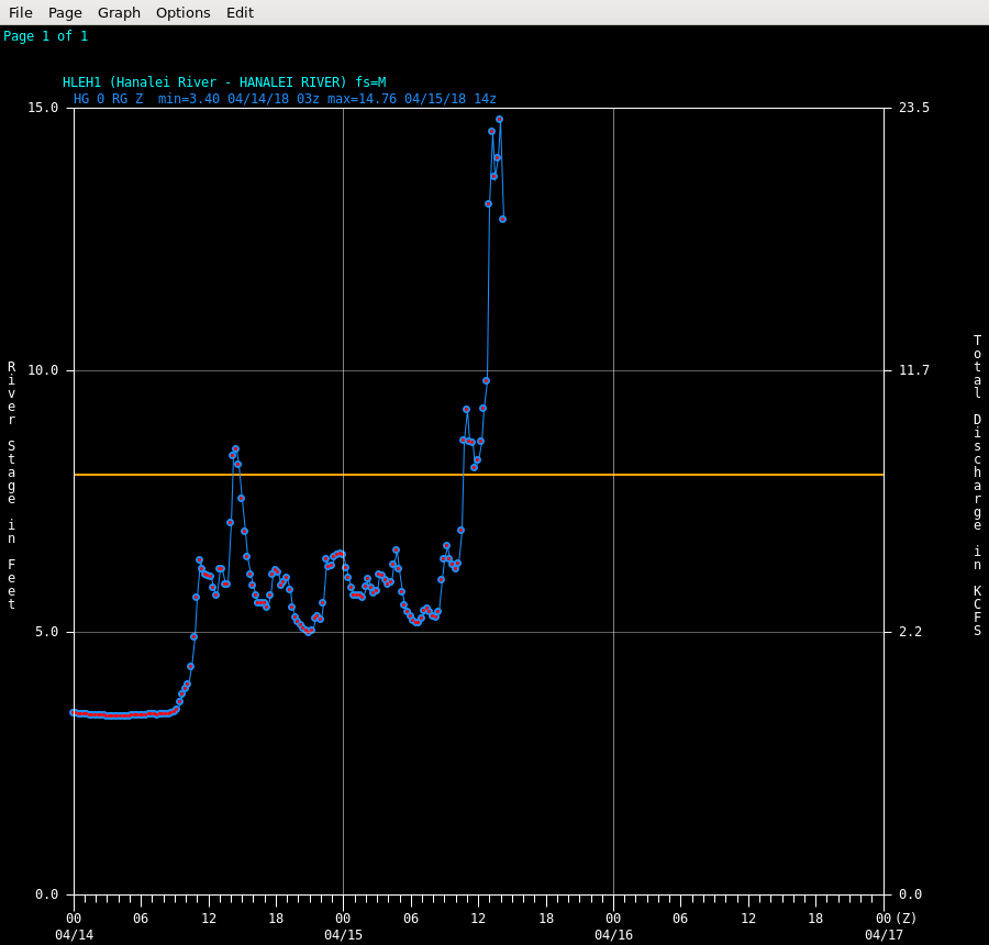
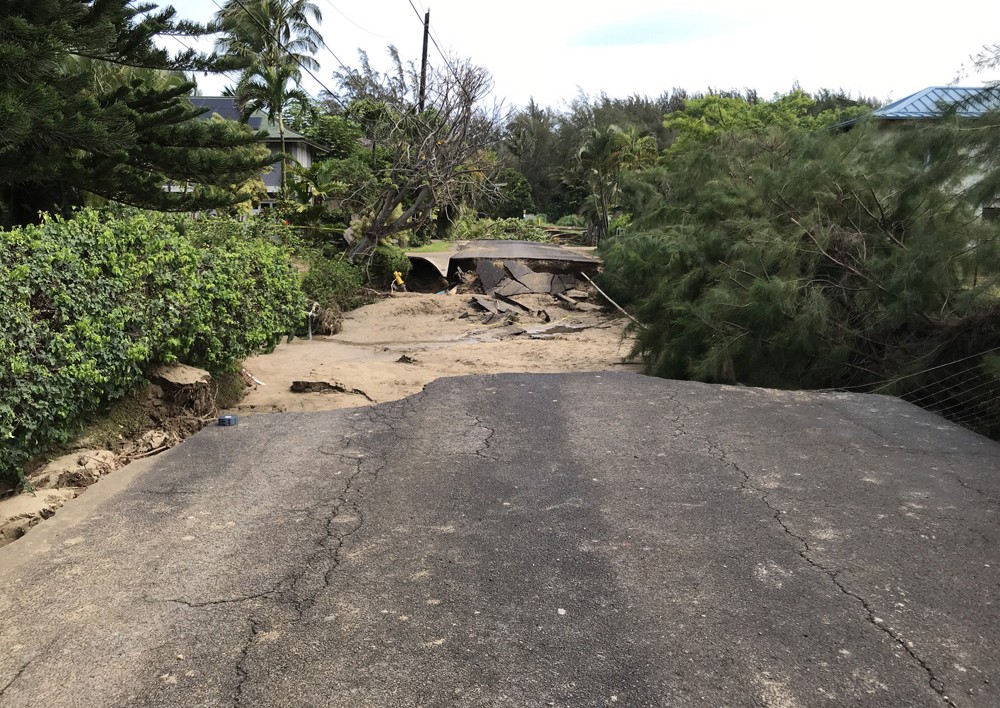
The catastrophic 2018 floods that isolated Hanalei for weeks had made one thing clear to residents: they couldn’t wait for outside institutions to solve this for them. Local organizations were already running their own flood preparedness efforts and had strong, informed opinions about what questions actually needed answering.
Through a multi-year graduate student project, we engaged with those organizations, shared what we were building, and learned what they already knew. That exchange changed the scope of our work. What started as flood map production expanded into areas we hadn’t originally proposed.
Today, our group continues to collaborate with local community organizations to assess how rainfall and waves affect cesspools in the watershed, and we are helping to plan a real-time flood and high rainfall alert monitoring system that a local agricultural non-profit will operate on its own. We would not have seen those needs without the community pointing them out.
The flood modeling work remains important, and we are currently developing flood inundation maps (FIM) for integration into NOAA’s community-based FIM mapping program, which would make Hanalei the first location in Hawaiʻi on that platform. All things considered, we believe the more durable outcome of this project is a working relationship with people who understand this watershed in ways no model ever fully will.
Waiāhole and Windward Oʻahu
On Windward Oʻahu, we have applied the same approach to produce one of our most tangible public-facing applications yet. Our team has developed The Windward Flood Check app, which is available now on the Apple App Store. This tool translates real-time stream gauge, tide, and rainfall data from USGS and NOAA into plain-language flood status for residents of Waikāne and Waiāhole.

In addition to the app, one of our graduate students is also building flood models for Waikāne and Waiāhole. This work has caught the attention of the City and County of Honolulu officials. City Council Resolution 25-234, which urges the City to install flood monitoring devices in inundation zones, aligns directly with what our team has been building, and a representative from Councilmember Matt Weyer’s office is a member of the project’s steering committee. When community input shapes the data and tools for place-based solutions, it gives policymakers a documented, tested rationale to act on, turning resident knowledge into the kind of evidence that can unlock formal government support and public investment.
These three unique projects, on three different islands, are in varying stages of maturity and have so far yielded a variety of tools and results. Yet they all point toward the same conclusion: that flood science in Hawaiʻi will be more impactful when the people who live with the flooding are part of building the response to it. While this might sound obvious, it isn’t how most flood science, or really almost any science, typically gets done.
The families in Waiehu Kou, Hanalei, and Waiāhole are not waiting for a perfect map or a completed watershed model.
Many communities across Hawaiʻi are facing similar flooding without the same support. The tools and approaches developed across these three sites are not proprietary. The models are open-source, the methods are being documented, and the lesson is transferable: start with the relationship, and the science will be meaningful.
Disclosure: Chris Shuler is a Primary Investigator on three federally funded grants from NOAA that support the work described in this article.
Shortstory
Behind the Story